Soil quality Ukraine

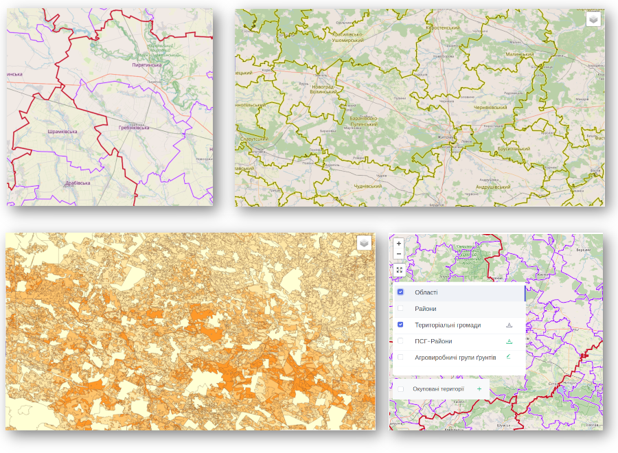
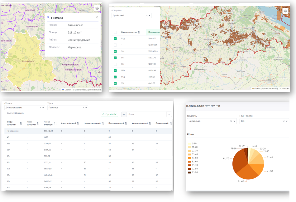
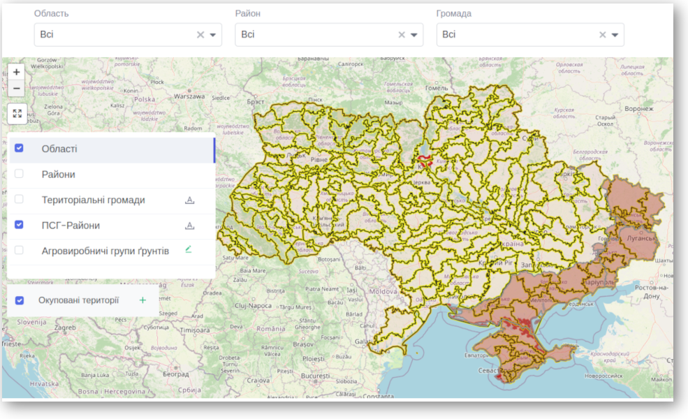
Geoinformation system of agricultural groups of soils and their quality indicators on the territory of Ukraine. A tool for spatial analysis and visualization of data on lands and soils of Ukraine

To the service
hero image
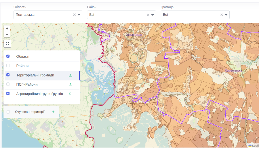
PostGis GeoServer Leaflet Tiles

Data visualisation

Display of geospatial data on a cartographic basis

  • Borders of administrative-territorial units
  • Natural and agricultural zoning
  • Agricultural groups of soils
hero image
hero image

Analytics on lands and soils

Multivariate analysis of quantitative and qualitative land and soil data and search for complex relationships between these data

  • Analysis of the distribution of agricultural groups of soils
  • Analysis of qualitative indicators of agricultural groups of soils
  • Analytics on agricultural groups of soils by administrative-territorial units
  • Analytics on agricultural groups of soils in terms of natural-agricultural zoning

Unique system capabilities

In addition to basic analytics, the system offers an additional set of classifiers and contains complete data on agricultural groups of soils

  • Works with a comprehensive nomenclature list of agricultural groups of soils
  • Offers detailed spatial analytics for valuable lands
  • Classifies soils according to their agrochemical and agrophysical properties (by granulometric composition, degree of washing away and other indicators)
  • Provides analytics on land erosion
  • Provides analytics on agricultural groups of soils in terms of occupied and de-occupied territories
hero image

Key numbers

The system contains data aggregated from the entire country and covers its entire territory

603,7 thousand km2

The area of the territory of Ukraine

222 agricultural groups of soils

Contains unique agricultural groups

1469 communities

Number of territorial communities in Ukraine

>1,7 mil. polygons

of agricultural groups of soils contains the system